Discover the largest of the U.S. regions and the contribution of the west to the rest of the country. Visit the varied landforms and climates of the West, including Alaska and Hawaii. Learn about the vast amount of natural and human resources of this region from agriculture and fishing to tourism and technology.
Subjects: Geography
-
The Southwest Region: Environment
The region, known by many for its extraordinary landforms, provides a large backdrop for a variety of natural resources. Discover the importance of oil and cattle to this region, as well as mining and farming. Learn how the people in this region have learned to conserve water, one resource that is not plentiful to this area.
-
The Middle West Region: Environment
More than just a farmland, the middle of America has a lot to offer in natural resources. Discover the varied climate of the plains area complete with tornadoes, blizzards, and hot summers. Learn about the wide variety of natural resources from agriculture to iron and lumber.
-
Different Types of Maps: Topographic, Political?
Students learn about the different projections possible to represent the round Earth on a flat surface and the various kinds of information displayed on maps. Map types covered include political, physical, relief, climate, vegetation and more. Combining the latest technology with visual images supplied from around the world, this program takes difficult material and provides the student with easy-to-understand visual presentations.
-
How Location Affects Life: Different Areas, Climate, Latitude and Longitude
Students examine geographical and human factors that affect personal and societal ways of life. Physical components such as climate, landform and relative location are discussed, expanding a learner’s understanding of characteristics within northern and southern hemispheres, differing latitudes and longitudes. Population density, cost of living, and politics are considered as human factors impacting daily life. Regional examples review the interrelationship of geographical, climactic, and historical events that shape everyday life.
-
Beginning Maps: Models and Places
Students discover the relationship between the real world, small models of real locations and the purpose of maps. Engaging models of a neighborhood, school and face become “maps” before their eyes. Information on the models corresponds to simple maps with special attention given to relative location and scale. A globe is a view of the world from high above. Students distinguish between water and land on a map and on a globe. They also identify places on the map from stories of the past i.e., where Columbus landed and today like where the President lives. (1) Introduction (2) Beginning Maps: Models and Places (3) Models and Maps (4) Maps and Globes (5) Finding Places on the Map (6) Review
-
Reading Maps and Globes: Identifying Land, Water, Place
Students review the compass rose and add intermediate directions to their understanding as they locate continents, oceans and the equator on a map. Mental maps and the grid map are also reviewed and expanded with simple parallels and meridians. Students will locate major countries and use scale to trace travel routes, determine distance between locations, and introduce new visuals to their understanding of mental maps. By locating the Regions of the United States and the Native American tribes that called them home the ideas behind cultural geography are simply introduced. Students locate lakes, rivers and mountains on a new introduction, the landform map. Reading Maps and Globes is the perfect transition to Using Maps and Globes.
-
Using Maps and Globes (DVD)
Building on students? basic understanding of maps and globes, the more complex concepts of latitude and longitude are introduced. The equator, north and south hemispheres, Tropics of Cancer and Capricorn are defined and located down to minutes and degrees. The Prime Meridian, east and west Hemispheres, Time Zones, and the International Dateline come to life on a world cruise review.
-
Understanding and Making Maps: An Introduction (DVD)
Learn the connection of drawings to maps and models to globes as students see their community from above and begin to understand scale, relative position, direction…Loaded with definitions; symbol, compass rose, cardinal directions, key or legend …and map essentials; title, date, legend and scale kids make a variety of maps and find locations on a simple grid map.
-
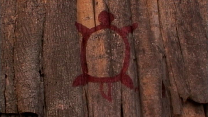
Toronto: When Past Meets Present
Palmer suggests that Cat and Sid explore the world of the First Nations right here in the City of Toronto, with bus tokens in hand Sid and Cat head out. First stop on the tour is Baby Point, where they meet-up with Professor John Steckley. Professor Steckley tells both Sid and Cat not to be fooled by this residential area that actually hundreds of years ago, the area was a large Seneca village called Teiaigon. Professor Steckley then sends our two hosts out to meet-up with his friend Ron Williamson who has uncovered another historical long house village under a sub division located right in the suburb’s of Toronto. Once learning about this village Sid and Cat meet-up again with Professor Steckley who tours them through a recreated long house village and shows them how the First Nations prepared their food for cooking. Coming to an end of their whirlwind tour Sid and Cat head-up to the Sixth Nations Reserve where they learn first hand on how to make corn bread with a local Elder and Cat has a friendly game of Lacrosse with the bantam six nations team.